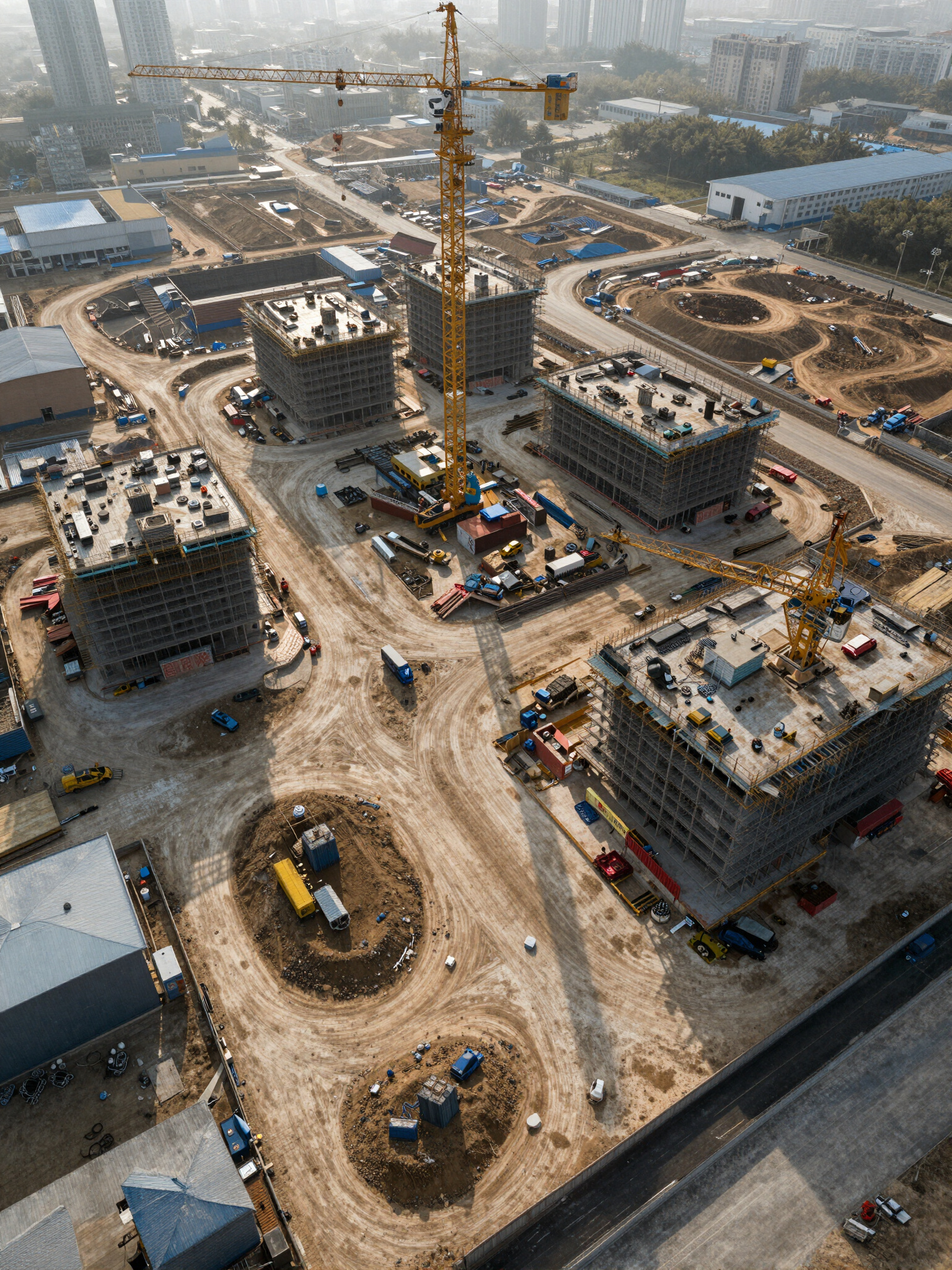
See Your Site. From Every Angle.
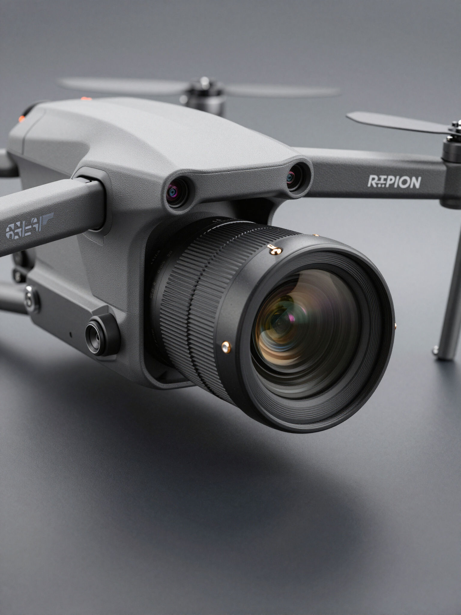
Greyline Dynamic delivers drone media, construction documentation, land visualization, and 3D capture for contractors, developers, and motorsports brands.
Core Offerings
Commercial Drone Operations
High-precision aerial documentation for construction, real estate, and infrastructure projects.
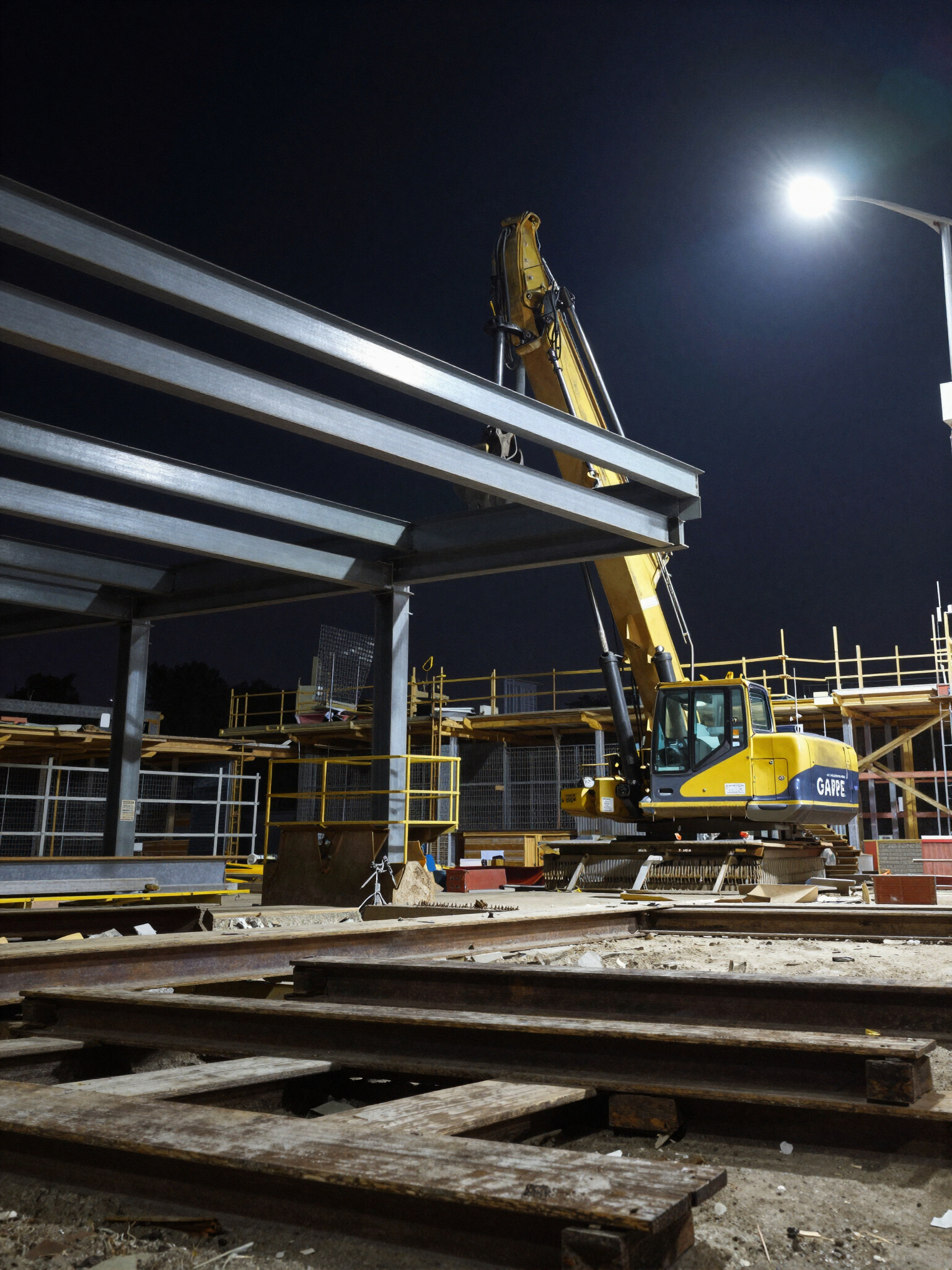
Construction & Land Marketing
Premium media packages and interactive maps designed for high-impact land visualization.
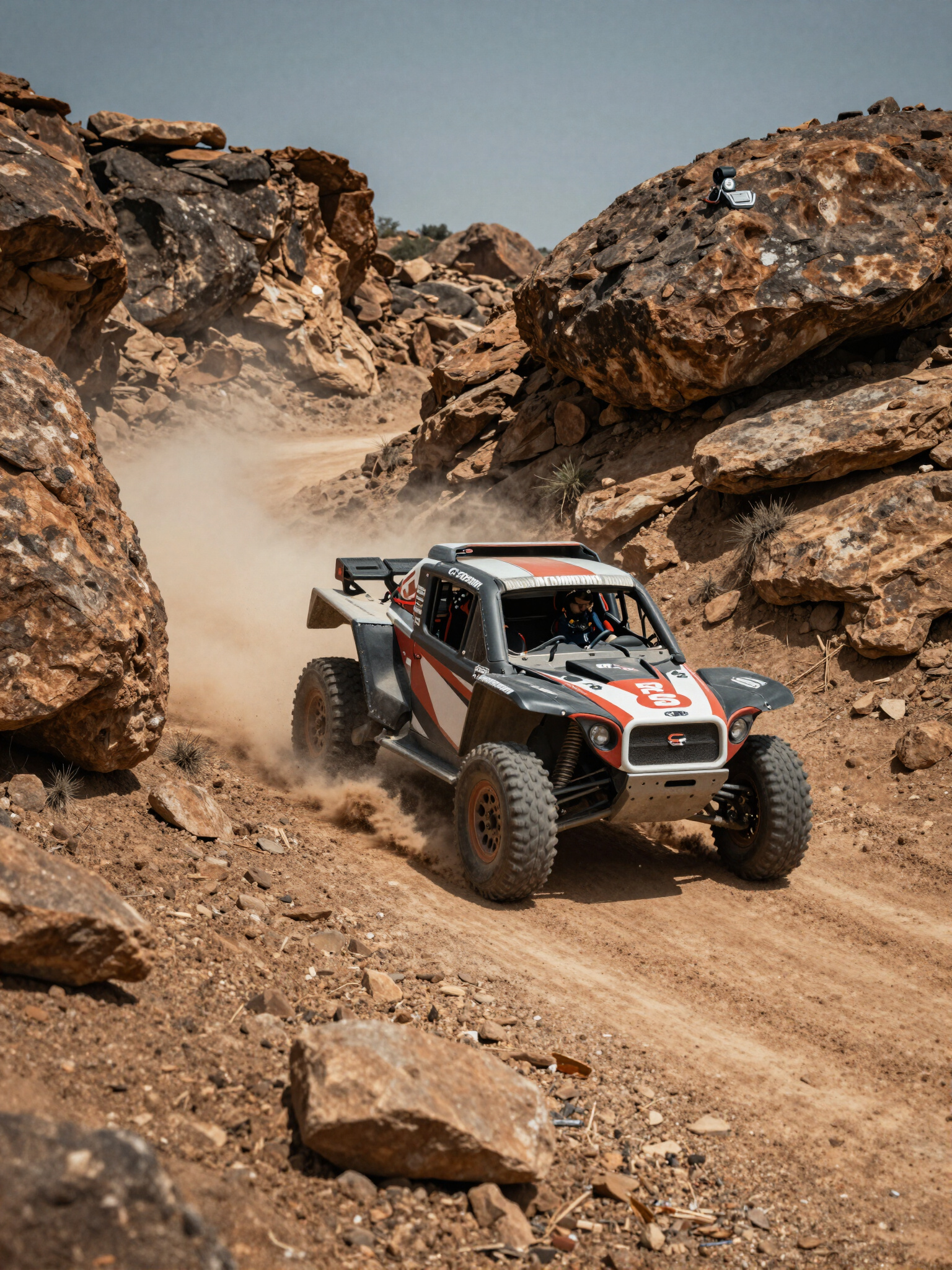
Motorsports Media
Cinematic drone coverage for off-road racing and athlete features, capturing every detail.
Mapping & Photogrammetry
Orthomosaics, point clouds, and 2D/3D models for technical precision and spatial intelligence.
Athlete & Performance Media
Training documentation and promotional content for elite athletes and performance branding.
3D Capture & Digital Twins
Gaussian splatting and interactive 3D experiences for immersive visualization and planning.
Most drone companies deliver footage. We deliver intelligence.
General Contractors
Land Developers
Civil Engineering Firms
Real Estate Brokers
Roofing & Excavation
Municipal Agencies
Motorsports Brands
Athletes & Coaches
GREYLINE DYNAMIC / SPATIAL INTEL / GREYLINE DYNAMIC / SPATIAL INTEL / GREYLINE DYNAMIC / SPATIAL INTEL /
Future-Forward Visualization
We leverage Gaussian Splatting and Digital Twins to deliver high-fidelity spatial intelligence. Our technology transforms complex data into immersive, interactive 3D experiences that redefine how contractors and developers visualize their projects.
Motorsports Precision
Event Coverage: High-speed cinematic drone documentation for professional motocross and off-road racing circuits.
Athlete Features: High-precision 3D capture and spatial media for elite performance athletes and professional racers.
Social Content Packages: Technical drone media packages designed for maximum engagement and brand visibility.
Brand Partnership Media: Premium spatial documentation and 3D capture for motorsports manufacturers and sponsors.
01
Scope & Quote
We define the technical parameters of your project, from drone flight paths to 3D capture requirements, ensuring a precise and measurable scope of work.
02
Flight & Capture
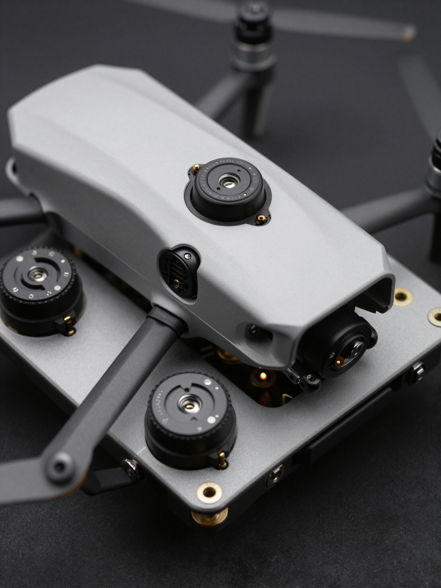
Our high-precision drone operations execute complex flight sequences, capturing every detail with industrial-grade sensors and spatial media technology.
03
Processing & Edit
Raw data is transformed into high-fidelity 3D models and orthomosaics through advanced photogrammetry and Gaussian splatting algorithms.
04
Delivery
We deliver technical intelligence in the form of interactive digital twins, immersive 3D experiences, and high-resolution spatial media packages.
Visual Intelligence
From high-fidelity drone capture to industrial-grade 3D modeling, we deliver technical precision for the most demanding visual media projects.